
Map of the US with All State Divisions Coloring Page

About this coloring page
A Map of the US with All State Divisions shows the contiguous United States divided into its individual states. Each region sits clearly in place, forming the complete landmass from coast to coast. This activity suits children aged 6 to 10 and provides a moderately simple, educational layout to color.
The United States is made up of 50 states, and the smallest one, Rhode Island, could fit inside the biggest one, Alaska, over 400 times!
Print or Download This Coloring Page
You can download a JPEG file or print them as much as you'd like! All these coloring pages are designed to fit standard US letter size and A4 paper perfectly making them convenient for home printing.
Want it your way?
Make your own version of this page with our AI generator. Free to try.
Make your own versionOr turn your own photo into a coloring page📌 Share This Coloring Page

Legal Note: You can freely use this coloring page for commercial purposes and distribute it beyond personal projects — a link back to Coloring Ninja is appreciated but never required. Enjoy!
Similar Coloring Pages
All 5 Map coloring pages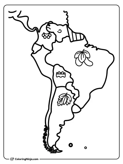

From Our Blog

How to Draw a Halloween Pumpkin, Step by Step
Pumpkins are squashed spheres with vertical ridges called ribs. Drawing the ribs first helps you ...

How to Draw a Robot, Step by Step
Drawing a robot starts with simple geometric boxes and circles to build a sturdy frame. This appr...

How to Draw a Cute Ice Cream Cone, Step by Step
Drawing an ice cream cone starts with balancing a heavy circle on a pointed base. This lesson use...

How to Draw a Motorbike, Step by Step
Motorbikes are built around two large wheels and a central engine frame. Drawing them requires ca...