
Map Coloring Pages
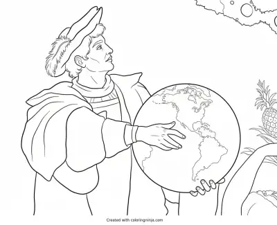
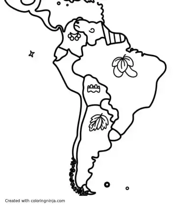
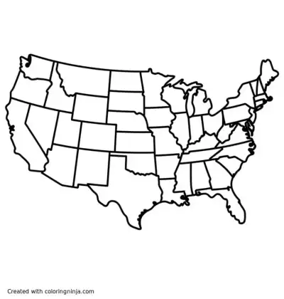
From the detailed state outlines on the Map of the US with All State Divisions to the fun wildlife artwork on South American Animals and Map, geography comes to life through art. You will also find historical scenes like Columbus Holding a Globe alongside playful state-themed art. These free map coloring pages help turn geography lessons into a creative activity.
5 free map coloring pages
Geographic Details and Historical Scenes
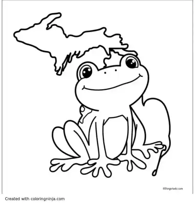
This collection mixes classic educational maps with storytelling illustrations. The full United States map features fine state boundary lines that work best for older kids and adults who want to practice precision coloring. Younger kids can focus on simpler shapes, like the Michigan Frog Leaping into Greatness or larger historical figures.
Coloring Tips for Maps and Globes
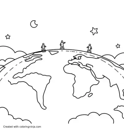
Fine-tip markers and sharp colored pencils are the best tools for smaller regions and state borders. Using distinct colors for neighboring states or continents makes the different territories stand out clearly. You can also shade ocean areas with a light blue crayon to keep landmasses readable.
- Use blue for oceans, seas, and major lakes.
- Assign different bright shades to adjacent states or countries.
- Try earth tones like brown and green for natural land features and animals.
- Use metallic gold or yellow for antique compasses and globe stands.
Creative Ideas for Finished Pages
Once colored, these sheets work well as study guides for social studies tests or as custom placemats. You can also fold them into book covers or hang them up as classroom wall decor. Every page prints free on Letter or A4 paper from its Print PDF button.